


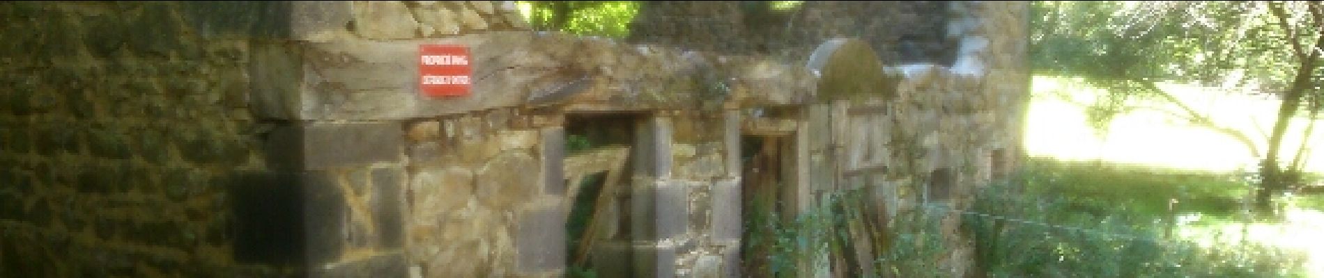
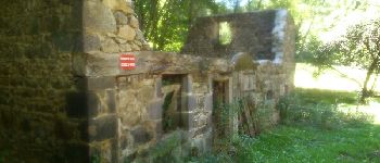
Le moulin de Quarte

Gegetop
User
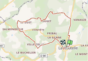

Length
10 km

Max alt
766 m

Uphill gradient
255 m
Km-Effort
13.4 km

Min alt
651 m

Downhill gradient
255 m
Boucle
Yes
Creation date :
2015-08-26 00:00:00.0
Updated on :
2015-08-26 00:00:00.0
2h38
Difficulty : Medium

FREE GPS app for hiking
 SityTrail
IGN / Geographical institutes
SityTrail Plus
The world is yours!
About
Trail Walking of 10 km to be discovered at Auvergne-Rhône-Alpes, Puy-de-Dôme, La Goutelle. This trail is proposed by Gegetop.
Description
Randonnée balisée en jaune, départ à l'église de La Goutelle Guide chamina n°22 Chaine des Puys.
Photos


Positioning
Country:
France
Region :
Auvergne-Rhône-Alpes
Department/Province :
Puy-de-Dôme
Municipality :
La Goutelle
Location:
Unknown
Start:(Dec)
Start:(UTM)
481216 ; 5076536 (31T) N.
Comments
